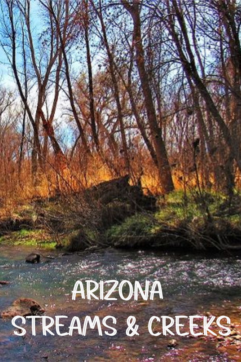
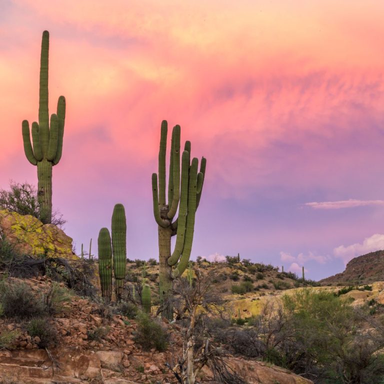
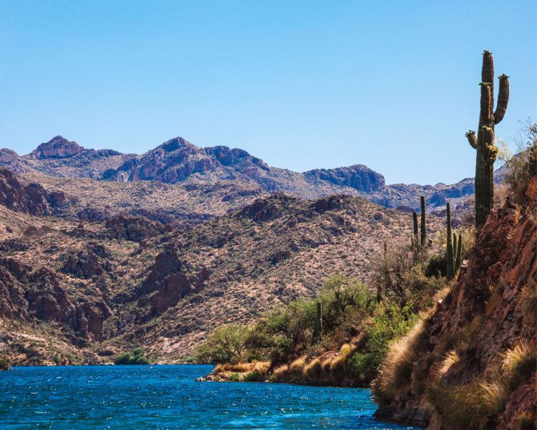
Top Arizona Streams And Creeks You Need to Visit
Consistently flowing streams in Arizona are valuable tributaries to larger and smaller Arizona rivers. Very few create lakes, but their flow can certainly end there. Their waters are so helpful to Arizona’s flowing rivers, which of course, along their way form lakes. So, what are the notable Arizona streams?
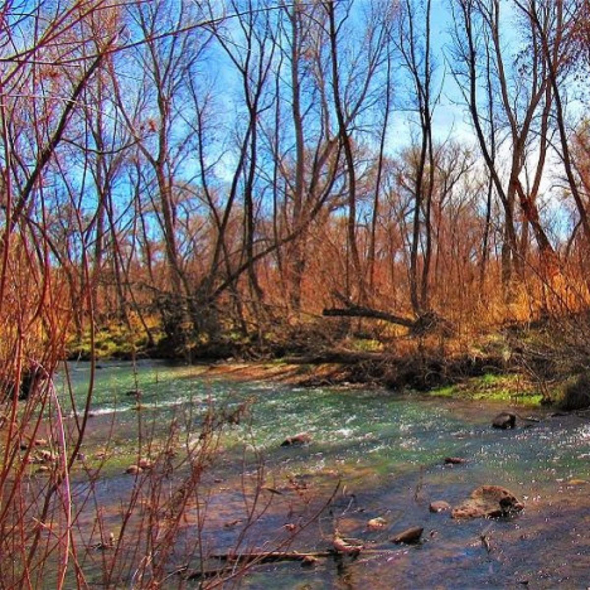
Table of Contents
Arizona Streams & Creeks
Carnero Creek
Carnero Creek is a smaller White Mountain stream, not a tributary to any Arizona river. A primary source is Carnero Spring, plus two others nearby.
All this enabled creation of Carnero Lake, a small basin suitable for trout fishing. The limit is 2.
- How to get there: from Eager, AZ260W, about 15 mi. right on FR117. Right on Fs117A. Then right on 2nd unnamed road & on another unnamed, to the lake.
Show Low Creek
Beginning as Porter Creek out of Scott Reservoir, it adds 1.4 cu. Ft/sec mean flow to Show Low Lake. After that, egress through its bed into Silver Creek, then outlets at Little Colorado River.
Chevelon Creek
Adding four cu. Ft/sec average after flowing from Woods Canyon Creek at Willow Springs Canyon. Then adding flow to Chevelon Canyon Lake, near Winslow.
- Great view of McLaws Road bridge.
Granite Creek
Sourced near Wolverton Mountain near Prescott. Parallels Hwy. 89 awhile.
Then into Watson Lake. Exiting there, flow measured at Granite Dells averages 1.06 cu. Ft/sec.
Downstream confluence with the Verde River.
Oak Creek
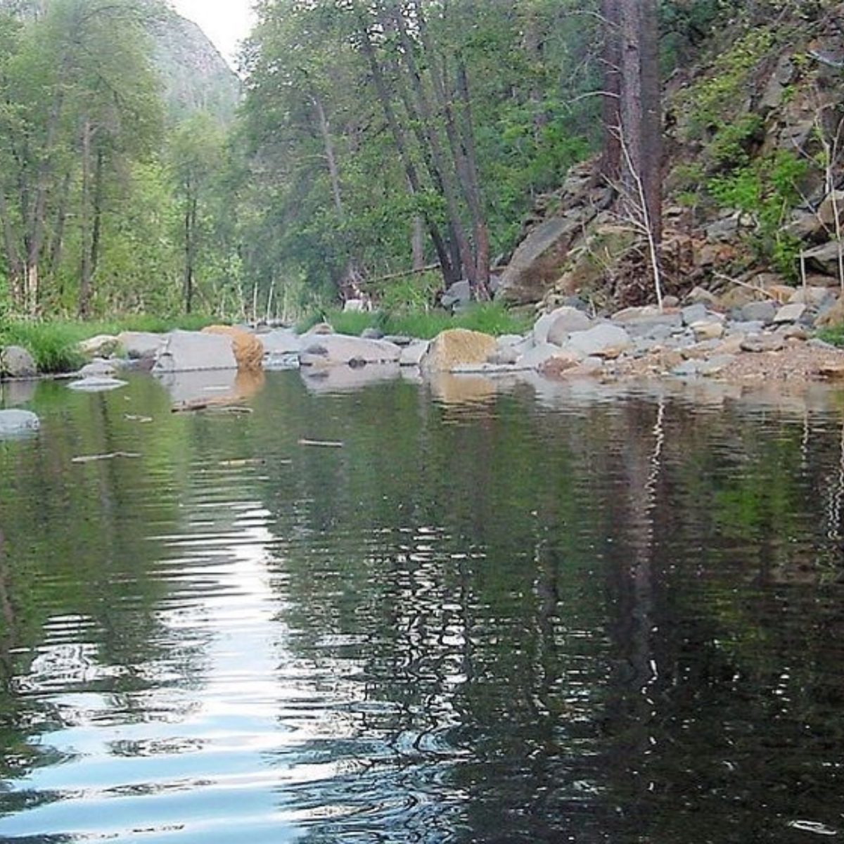
Beautiful canyon & red rock areas for an awesome resource.
Headwaters in Pumphouse Wash meadows south of Flagstaff.
Finally merging with Verde River, it normally has 72/+ cu. Ft/sec. disgorge. Sedona is a prime area to see its waters.
Beaver Creek
Wet, as opposed to Dry!
Averaging flow into Verde River at Camp Verde of 7.6/+ cu. Ft/sec. Headwater at 6500′ in Coconino National Forest.
West Clear Creek
Headwaters west of Mahan Mountain, before Arizona National Scenic Trail.
Merging with Verde River, SE of Camp Verde. By then, averaging 19 cu. Ft/sec.
Parker Creek
Headwaters SW of Carr Peak in Tonto National Forest. Upstream flow averages 40 gal./min.
Downstream becomes Cottonwood Wash, exiting into Roosevelt Lake.
Tonto Creek
Sitgreaves National Forest headwaters flow through Hellsgate Wilderness & Tonto National Forest. Through frequent canyons.
- There’s 22 cu—ft/sec. of average flow when arriving into Roosevelt Lake.
Aravaipa Creek
Sourced near 4500′ in Galiuro Wilderness. Gurgling slowly downhill to Aravaipa Canyon Wilderness, through scenic canyons & trails.
Winds its way out to Hwy.70 north of Tucson, above Mammoth, and westward into the San Pedro.
- By then often dry.
- After Wilderness ends, mean output: 17 cu. Ft/sec.
Cave Creek
Upstream beginnings West of Blackjack Point/Cooks Mesa. Flow averages 0.49 cu. Ft/sec.
Downstream enters the Arizona Canal in Phoenix.
Blue River
Sourced from Campbell Blue Creek, at about 8000′ in Apache National Forest. Coleman, Castle & Turkey Creeks merge.
Then below Mother Hubbard Canyon, it becomes the Blue.
Several tributaries: Grant & KP, & more. Output averages 13 cu. Ft/sec., merging with the San Francisco River.
San Francisco River – Headwaters around 9000′ into Apache National Forest. Flowing East into New Mexico picks up Tularosa River waters.
Winds back into AZ, & the Blue River converges. Turns south through Clifton at two cu. Ft/sec., finally entering the Gila.
Bonita Creek
Headwaters about 6400′ elevation, then through San Carlos Reservation, until joining Gila River with 4 cu. ft/sec. mean flow.
San Carlos River
Headwater at Ash Creek.
Called San Carlos after the confluence with Natanes Creek. Elevations 4600′ down to 4300′ as it often forms Graham/Gila county border.
US Hwy.70 outflow averages 12 cu. ft/sec. Then intermittently drying up with farming, & desert terrain.
Agua Fria River
Headwaters about 5200′ elevation south of Hwy. 89A northeast of Prescott. Gurgling past Prescott Valley, then east of Dewey-Humboldt, under I-17 east of Cordes.
Then through Agua Fria National Monument, Black Canyon City & returning west of I-17. Volume throughout: 7 cu. Ft/sec.
- Intermittent flow afterward into Lake Pleasant.
Babocomari River
Old West history there, with Tombstone Cowboys from the OK Corral.
Headwaters about 5000′ up, behind Elgin Elementary School.
Runs eastward, through Elgin’s center, eventually under Hwy.90 in Huachuca City. By then, a trickle, if that (probably dry).
Continues toward Fairbank, there linking into the San Pedro south of Hwy.80.
- Total percolation averages just over 433.5 gal/min.
Cibecue Creek
From the Apache language meaning reddish bottom land. An Apache Village was located creekside in the 1800s.
Medicine Man Nokay Delklinne led the Coyotero Band in the Ghost Dance. The military arrested him on August 31, 1881, leading to a rebellion by Apache Scouts. The battle resulted in 11 military deaths, 47 Apaches imprisoned (2 at Alcatraz), and 3 hanged.1
About 15-20 feet wide, with meadow & brushy banks, with canyon areas.2 Headwaters west of Rt.34, south of White Spring. It still runs through Apache lands southward until the confluence with the Salt.
Carrizo Creek
The name comes from Spanish, for cattails. Named for those growing along the banks in some areas.6
The upstream source is Corduroy Creek, near Hwy. 60 Cedar Canyon bridge.
Cherry Creek
Two springs source headwaters near Young, AZ.
From Globe, take AZ188, then right on AZ288 (Globe-Young Hwy.), into Young, where it turns right, and continue. When beginning the left curve, instead, make a right on Cherry Creek Rd. (Nf54).
You’ll travel spectacular vistas, including a short trek from desert to forest.2
Pinal Creek
With its own upstream canyons & wildlife, including beaver, it can be an adventure to see!3
- Downstream, located near mining, ADEQ had to remediate its waters.
Pinto Creek
Headwaters near 6000′ southwest of Madera Peak.
When reaching the Miami area, flow averages 1.47 cu. Ft/sec. Soon after, it streambed to Salt trickles or dry, except in storms.

Verde River Tributaries
Check the Verde River Map to see them. But below we list some interesting ones:
Wet Bottom Creek
Named by cowboys crossing their cattle, sinking up to their “butts.” Of course, they actually called it Wet Ass Creek!1
Headwaters about 6000′ in Mazatzal Wilderness. Reaching Maricopa County flows nearly 394 gal./min., soon after trickling to near/at nothing.
Sycamore Creek
Apache battle here in 1872. Then named Raccoon Creek by K.S. Woosey. George Cline lived here in 1886, stating he knew it as Sycamore. But locals called it after him.1
Headwaters east of Mt. Peely near the Maricopa/Gila County line. Upstream flow mean near 247 gal./min.
Joins the Verde inside the Fort McDowell Yavapai Nation.
East Verde River
Initial upstream source. Which has its own gurgling tributaries: Dude Creek & Ellison Creek.
All of these have well-liked fly fishing spots.2
More Important Arizona Streams
Sabino Creek
Flows out from the 8300′ source north of Summerhaven on Mt. Lemmon in Tucson’s Santa Catalina Mountains.
A wonderful city respite, as it tumbles down just over 934 gal/min. refreshment.
Once hitting the desert floor, it soon dries up as it enters the dry Rillito River, a tributary of the Santa Cruz River. (Except during Monsoon Season storms!)
In Sabino Canyon Recreation Area, hike to Sabino Creek Dam, forming Sabino Lake.
Cienega Creek
It rolls northward downhill from its source about 5500′ up in the Santa Rita Mountains, south of Tucson. Traverses Hwy.82 east of Sonoita, further into Las Cienegas National Conservation Area & Empire Ranch grasslands.
Outflow close to 321-1/2 gal./min. It runs under I-10 east of Vail & crosses the Arizona National Scenic Trail.
Joins with Tucson’s Pantano Wash, where the flow levels to 306 gal./min.
- Soon after dries in the Sonoran Desert, then to the Rillito River, and finally, the Santa Cruz.
Webber Creek2
Lots of pooling in this small waterway. Runs very slow with a lack of rain. About 10-12′ wide when flowing well.
Some trout fishing here!
- Find It: Hwy. 87 North of Payson, East on 64/Control Rd.
References
- Granger, B.H. (1983). Arizona’s names: X marks the place; Historical names of places in Arizona. Tucson, AZ: Falconer Publishing Co.
- Meck, C.R. & Rohmer, J. (1998). Arizona trout streams and their hatches. Woodstock, VT: Backcountry Guides, Division of Countryman Press.
- ssk44 (2009, 4-6) Inner beauty: Pinal Creek Canyon, AZ. HAZ.